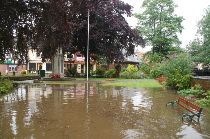
Heavy rain overnight on the 20th July fallen onto waterlogged ground gave flood conditions throughout the Soar Valley. I went for a morning cycle ride to view the floods. Quorn village war memorial. from what I could see the floods here were receding.
©Stephen Dee
ID 2007-07-21-21680
Meeting St, Quorn.
©Stephen Dee
ID 2007-07-21-21689
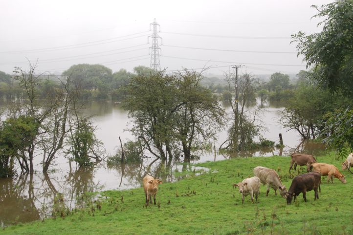
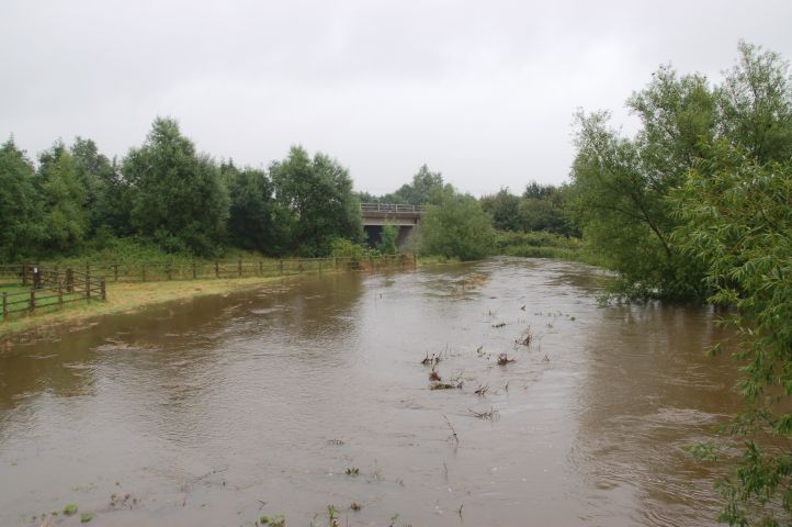
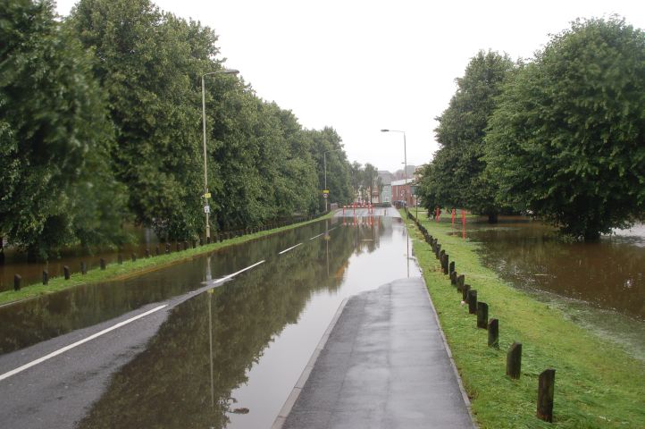
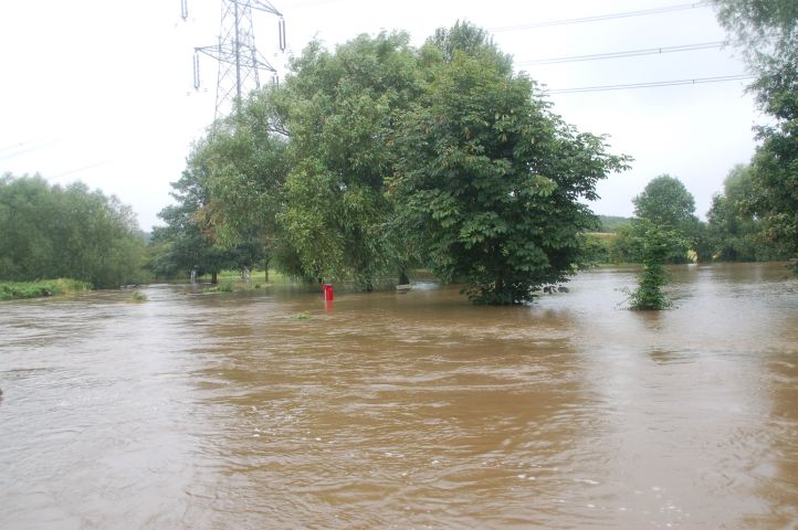
The Soar Valley between Quorn and Mountsorrel. The R Soar should be unseen in the distant between the far trees.
©Stephen Dee
ID 2007-07-21-21697
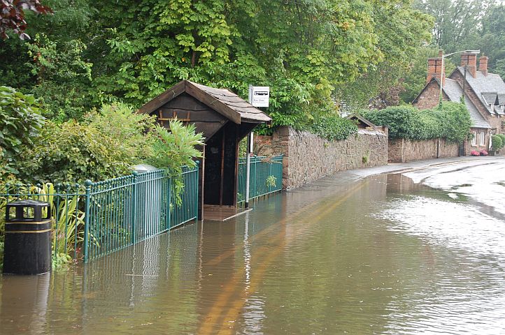
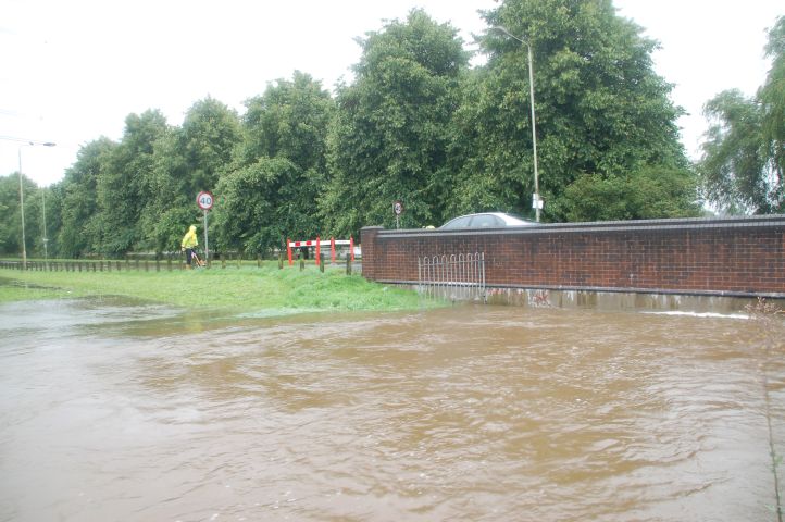
Sileby Rd, Mountsorrel, by A6 Jct. The water level here was lower then what I saw in March.
©Stephen Dee
ID 2007-03-05-17758
Rothley Brook W at Farnham Bridge, from the old A6 looking towards the new A6.
©Stephen Dee
ID 2007-07-21-21707
Canal towpath/cycle route 6 at Birstall
©Stephen Dee
ID 2007-07-21-21715
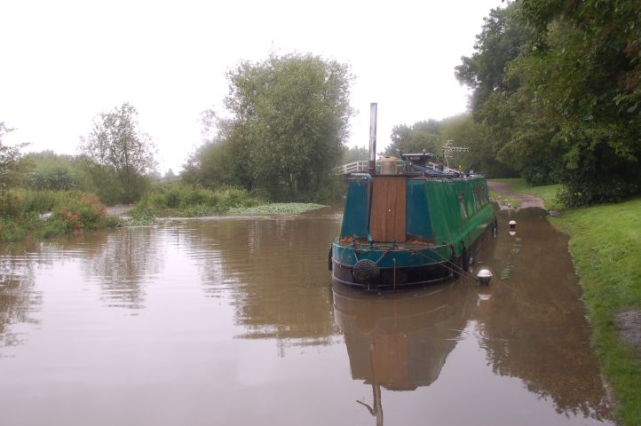
Canal towpath/cycle route 6 at Birstall
©Stephen Dee
ID 2007-07-21-21719
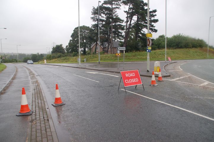
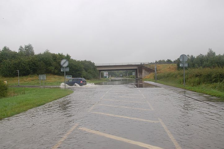
Road Closure at Junction of A46 and Leicester Rd, Anstey Mill. The Closure was due to flood of Rothley Brook.
©Stephen Dee
ID 2007-07-21-21732
The flood blocking Leicester Rd, Anstey. The flood had receded a quite a bit from what I could tell, as it had reached the houses on the other side of the bridge, which is in the distance.
©Stephen Dee
ID 2007-07-21-21733
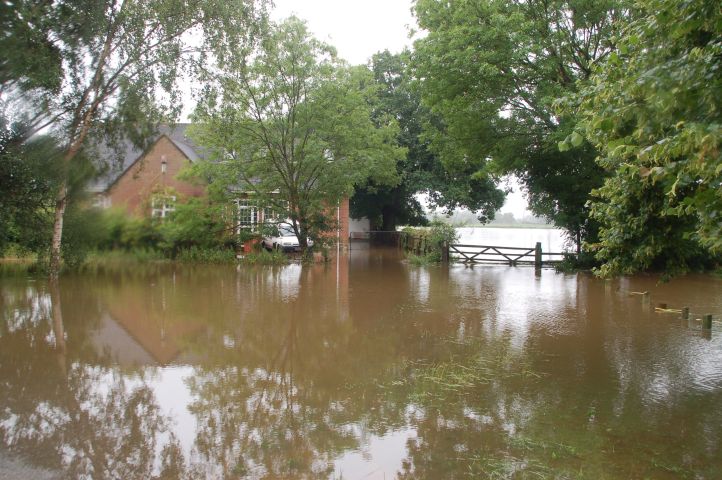
House on south side of Rothley Brook at Anstey,
©Stephen Dee
ID 2007-07-21-21735
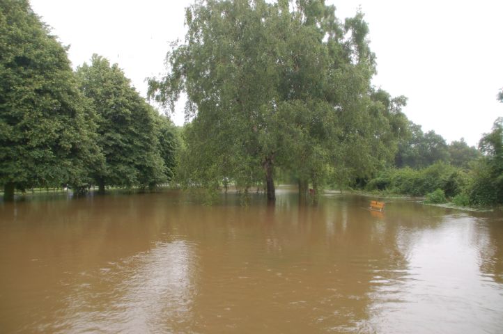
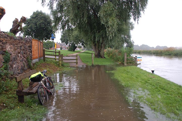
The south side of Rothley Brook is a meadow/parkland with benches to sit on. The water lever here covers the seats leaving the backs visible.
©Stephen Dee
ID 2007-07-21-21748
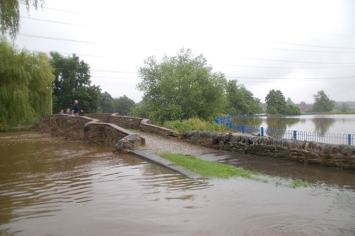
The old foot bridge across Rothely Brook at Anstey..
©Stephen Dee
ID 2007-07-21-21752
The down stream side of the Leicester Rd bridge across Rothley Brook at Anstey.
©Stephen Dee
ID 2007-07-21-21757
Rothley Brook looking down stream from Leicester Rd bridge at Anstey.
©Stephen Dee
ID 2007-07-21-21761
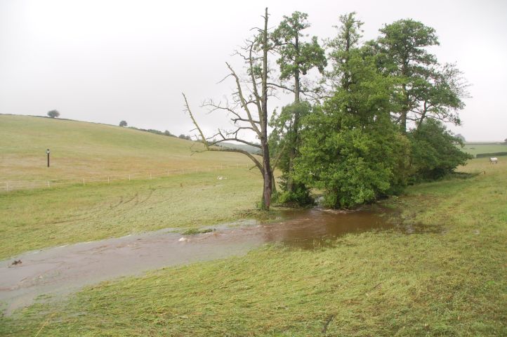
The stream at Little Garendon
©Stephen Dee
ID 2007-07-21-21769