A Day in the Alpes |
Home | Pont-en-Royans | St-Marcellin |
Col de la Machine | Towns & Villages of the Isère Valley | Rides around the Isère Valley | A Day in the Alpes | Villard-de-Lans |
Soar Valley Floods |
|
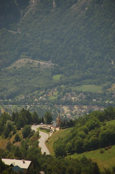
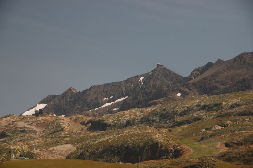
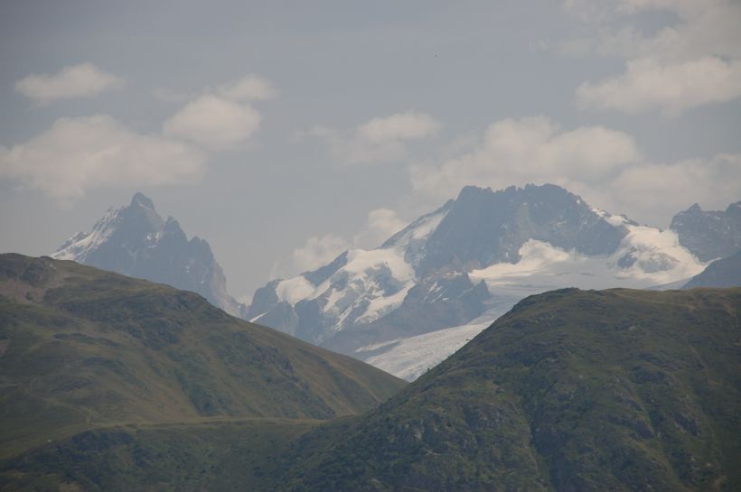
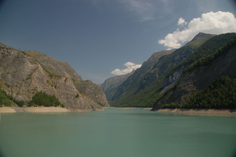
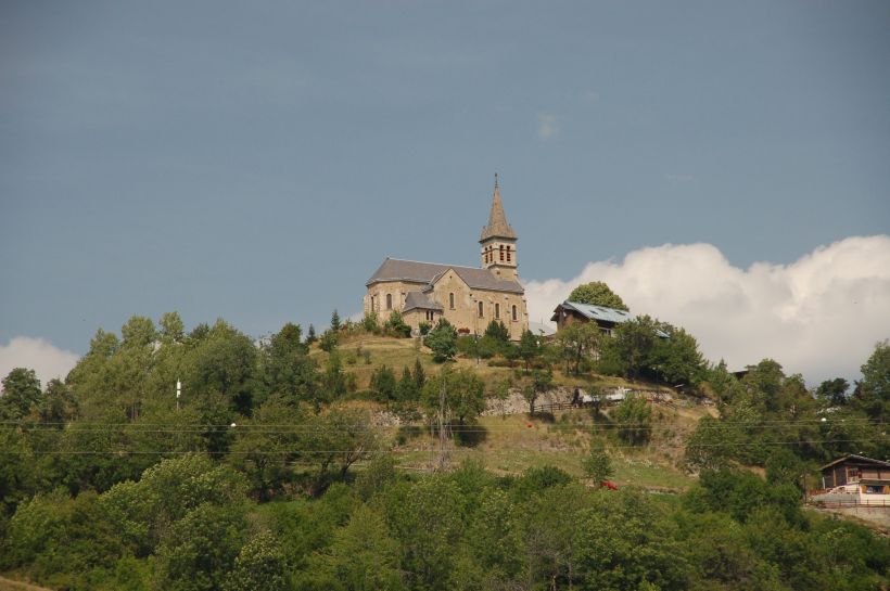
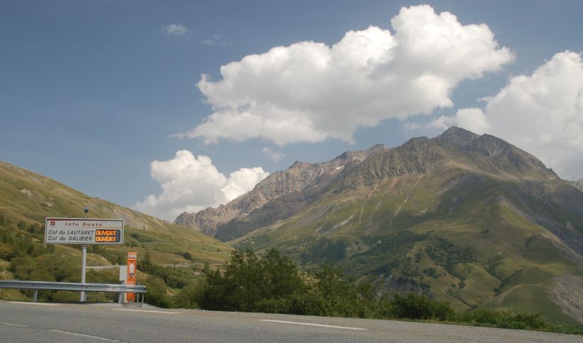
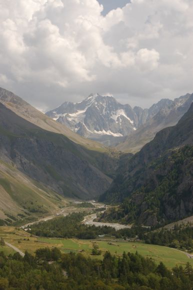
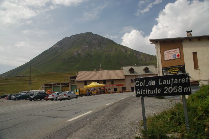
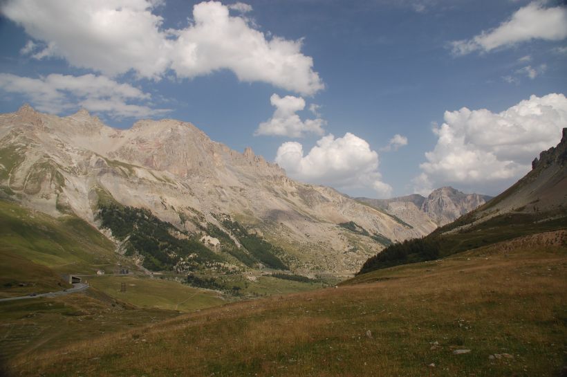
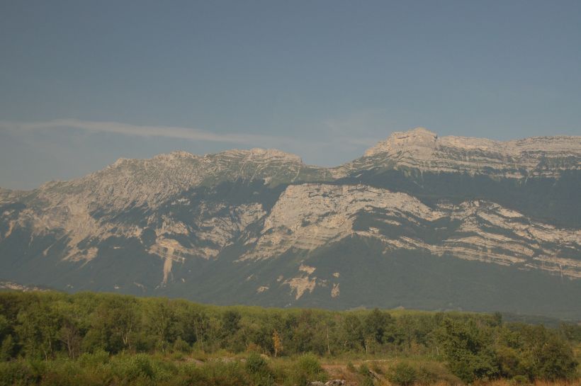
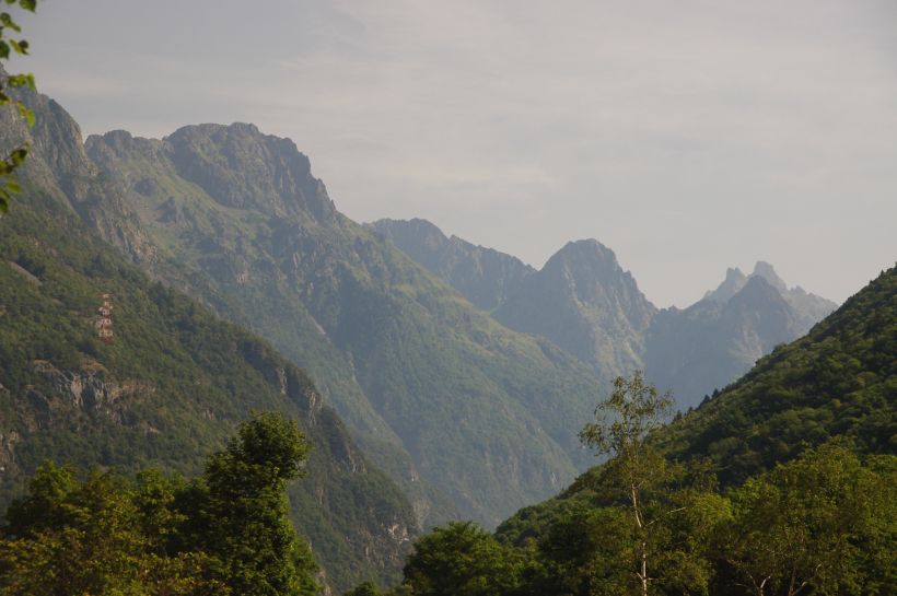
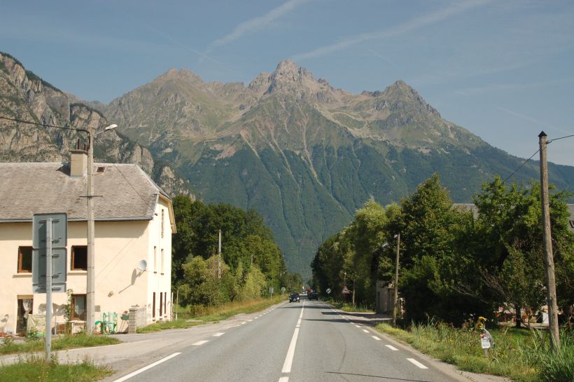
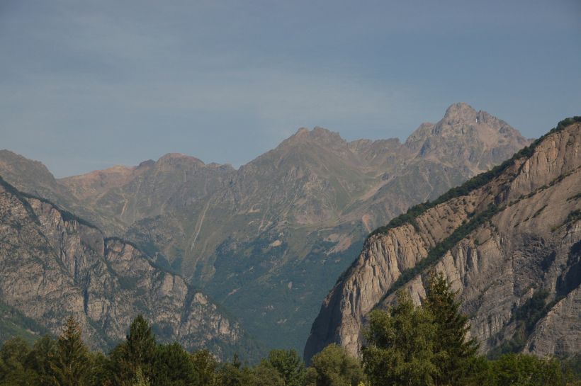
We woke to a nice day so we had a drive into the Hautes-Alpes. We drove into Grenoble via the the Pretty route through the Vercors, to get some a picnic lunch. Then we headed down the N91 towards Briançon. This is a view of the Montagne de Lans which run north south from Grenoble. ©Stephen Dee ID 2007-08-06-23166 |
As the N91 turned east the mountains became more dramatic. This is
the view of Gorges de la
Romanche from Vallée
de la Romanche near Gavet. At this point the road was at 402m.
©Stephen Dee ID 2007-08-06-23169 |
Looking E along the N91, at La Paute (la Lignarre),
height of road 720m. ©Stephen Dee ID 2007-08-06-23177 |
Looking N or rather W along the N91, from Le Bourg d'Oisans. ©Stephen Dee ID 2007-08-06-23183 |
From le Bourg d'Oisans, we left the N91 and headed up the D211. A view looking down from the top towards Bourg d'Oisans. The Valley floor is at 720m, 1100m below. ©Stephen Dee ID 2007-08-06-23211 D211 has 21 hairpins. Each one has a plaque commemorating Tour de France stage winners. ©Stephen Dee ID 2007-08-06-23247
|
The top of D211 is
Alpe-d'Huez, which has been used many times as a
stage finish or mountain time trial stage for the Tour de France.
Alpe-d'Huez is a ski resort which in the summer makes the most of its la
Tour connections. ©Stephen Dee ID 2007-08-06-23206 |
We drove up to Alpe-d-Huez, it took us longer then many la Tour stage winners. We did it in 45 min, The record by Pantani is 37 mins. ©Stephen Dee ID 2007-08-06-23236 |
Whilst in Grenoble, altitude 200m, we brought a plastic bottle of salad dressing and a sealed bag of salad. At top of Alpe-d’Huez, 1850 m (6069 feet) Ceri learnt some very important basic Physics, air pressure drops with altitude and bags of salad brought at 200m expands to bursting point and the bottle of salad dressing exploded when taken a mile higher. I off course had to drum up to check the impact of reduced pressure on my ability to brew. ©Stephen Dee ID 2007-08-06-23189 |
View looking towards the ski slopes of Alpe-d'Huez. ©Stephen Dee ID 2007-08-06-23190 |
View looking east from Alpe-d'Huez to the glaciers of massif des Ecrins. ©Stephen Dee ID 2007-08-06-23241 |
View looking east across Lac du Chambon from the Barrage du Chambon ©Stephen Dee ID 2007-08-09-23259 |
The church at Mizoën, over looking Lac du Chambon. ©Stephen Dee ID 2007-08-09-23261 |
On the N91 there were a number of places indicating the status of the local cols and other routes. The routes get closed due to landslides any time of the year as well as snow drifts in the winter. ©Stephen Dee ID 2007-08-09-23293 |
Near Col du Lautaret the Romanche valley turned away from the N91, this is a view looking south down the Romanche valley towards its source with the Pic de Neige Cordier (3613m) in the background. ©Stephen Dee ID 2007-08-09-23296 |
|
Col du Lautaret, 2058m (6752 feet). I wanted to go a bit further up to the Col du Galibier (2642m), which was up a departmental road heading up the mountain in the background. However as it was getting late in the afternoon so we gave it a miss - I will have to go back again but with my bike. ©Stephen Dee ID 2007-08-06-23315 |
|
Looking east along the N91 from Col du Lautaret towards Briançon. ©Stephen Dee ID 2007-08-06-23308 |
|
The Romanche river near le Grand Clôt, Combe de Malaval ©Stephen Dee ID 2007-08-06-23329 |
|
Looking east back along the Romanche valley from Porte Romaine, our last stop on the way back to Pont-en-Royans via Grenoble. We chose a good day for our drive into the High Alpes. That was on the Monday and after that the weather deteriorated. On the Friday the headline in the local paper was "Hiver en août" (Winter in August) as it snowed in the Alpes on the Thursday. ©Stephen Dee ID 2007-08-06-23349 |
Home | Top |
Page last changed 26 December 2007